

NEW YORK — In a landmark diplomatic shift that fundamentally alters how humanity views the planet, the United Nations General Assembly has voted 164–1 to adopt the “Equal Earth” cartographic projection as the official international standard, officially retiring the 457-year-old Mercator map for global representation.
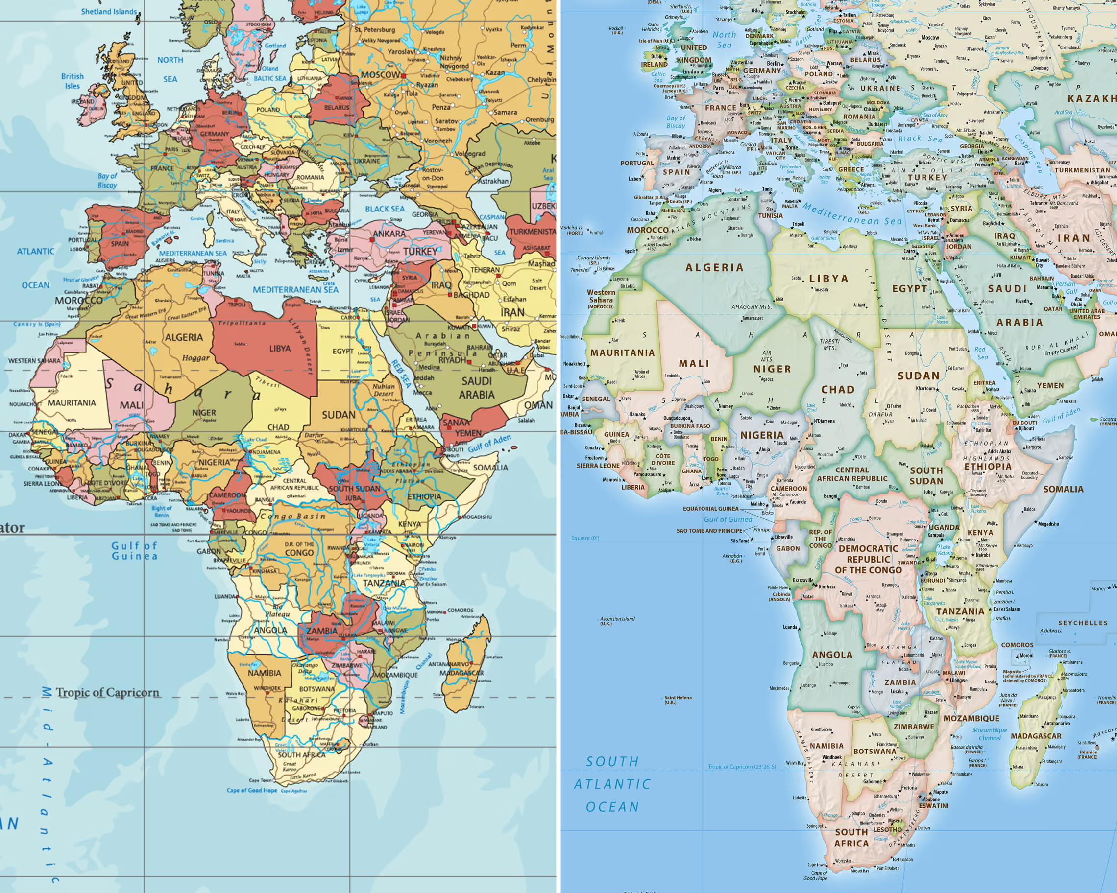
The resolution—spearheaded and sponsored by the West African nation of Togo—forces a sweeping visual correction to world geography. By abandoning the 1569 Mercator standard, the new official map restores Africa, South America, and the Global South to their true, immense landmass proportions while dramatically scaling down the inflated sizes of Europe and North America.
A Geopolitical Reckoning on Paper
For centuries, the Mercator projection—originally designed by Flemish cartographer Gerardus Mercator to aid nautical navigation—has dominated classrooms, atlases, and government halls worldwide. However, its mathematical design distorts scale as it moves toward the poles, swelling northern latitudes while compressing equatorial regions.
Under the Mercator model, Greenland appears roughly the same size as Africa, despite Africa being 14 times larger in reality ($30.3\text{ million km}^2$ compared to $2.16\text{ million km}^2$).
The adoption of the Equal Earth projection, created in 2018 by cartographers Bojan Šavrič, Tom Patterson, and Bernhard Jenny, fixes these centuries-old distortions without sacrificing visual harmony. As a true equal-area projection, every continent is rendered in exact mathematical proportion to its actual physical footprint on Earth.
Sparks Fly on the Assembly Floor
The resolution’s passage triggered sharp ideological divisions on the floor of the General Assembly, highlighting long-standing tensions over historical Eurocentrism and global representation.
In bringing the resolution forward, the Togolese delegation framed the vote not as a technical revision, but as a long-overdue act of cultural and political justice. Delegates argued that generations of children across the Global South have been raised on maps that visually marginalized their homelands, reinforcing a subtle psychological hierarchy of global importance.
The solitary dissenting vote came from the United States, which cast the lone “No” vote against the measure, dismissing the initiative as a political distraction from pressing geopolitical crises.
Despite the opposition, the overwhelming 164-nation consensus marks one of the most decisive global mandates on cartography in modern history, setting the stage for UN agencies, educational institutions, and international bodies to begin updating their official maps and spatial datasets globally.